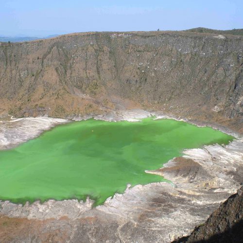
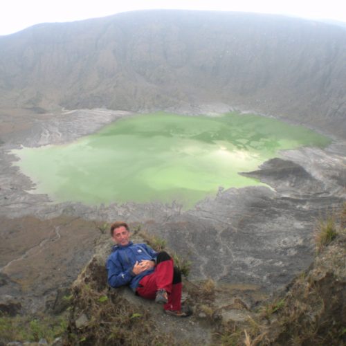
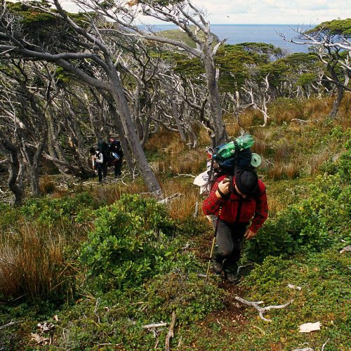
Chichonal Volcano (or El Chicòn) is located in the northern part of the State of Chiapas, Mexico. Its eruption in 1982 is well-known because it formed a 17-kilometers cloud, whose ashes spread throughout the atmosphere in the northern hemisphere of the earth. In the area, some villages were completely covered and the ash fell to hundreds of miles away, like snow. Today, the landscape is characterized by huge ash deposits excavated by meteoric agents and by a large crater on the bottom of which there is a green lagoon. The water has different temperatures (in some areas it is possible to dive) and the basin is surrounded by fumaroles and steam. Access takes a day and a half on foot or with the help of animals. The descent at the bottom of the crater is not difficult but it is necessary to use safety ropes.
Logistics and transports
-
ropes
All MB team members and their collaborators, as well as being skilled speleologists and mountaineers, are regularly licensed to work on ropes in natural and artificial locations (such as IRATA). In addition, MB provides its own technicians and customers with tools and materials for rope progression, carefully chosen and revised. ropes -
tent
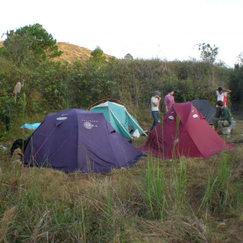
Base camp: the base camp arranged by the MB team is generally composed of a «base camp» tent equipped as a kitchen, a «bell tent» for material storage and for charging electronic equipment; personal tents for 2/3 people; electricity generator; gas and camping stoves; fresh and/or lyophilised food; boxes for materials and food storage; medical backpack; VHF radio equipment; satellite phone and possible satellite internet. tent -
jeep
Pickup or 4X4 will be used to allow access to the location. MB only uses revised vehicles and in good condition. jeep -
animals
To facilitate the transport of materials, in specific locations, MB will use mules or horses, paying the utmost care and attention to the animals involved. animals
Points of interest
Pichucalco Village: a typical Mexican agriculture center, which is the closest to the volcano.
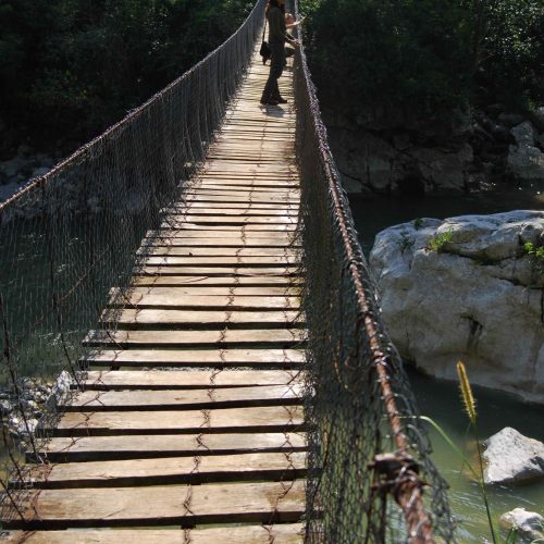
Approacching path: large ash banks and lava eroded by meteoric agents, forming small canyons.
Green lagoon: at the bottom of the crater, surrounded by steam, with the possibility to get into the water.
Accessibility
The base for reaching the location is the city of Pichucalco, situated north of the volcano and about 70 kilometers from Villahermosa (international airport). Then:
Chapultenango: 30’ by car
Volcano Base Camp: 6h on foot
Bottom of the crater: 4h
